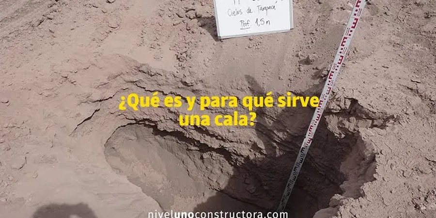
A tracked excavator with a smooth-mouth bucket cuts through the silty clay overburden common across Grande Prairie’s upland terraces—that’s our standard deployment for an exploratory test pit. The county’s surficial geology, shaped by glacial lake deposits and Peace River tributaries, rarely exposes bedrock before 3 to 5 meters, so direct observation of soil stratigraphy is the fastest way to ground-truth borehole data. We log each pit wall using the Unified Soil Classification System and ASTM D2488 visual-manual procedures, photograph the profile with a scale bar, and collect undisturbed block samples when intact structure is needed. Because Grande Prairie sits at roughly 670 meters elevation with a frost depth that can reach 1.8 meters in an open winter, a test pit excavated in late spring often reveals the real extent of ice-lens disturbance that auger cuttings miss.
In Grande Prairie’s glaciolacustrine clays, a pit wall shows desiccation cracks and ice-lens scars that no borehole log can capture—that’s the difference between assuming a soil profile and actually seeing it.
Methodology and scope
Local considerations
A pit left open in Grande Prairie’s reactive clay can deteriorate within hours: the surface dries, shrinkage cracks propagate, and overnight rain turns the floor into a slurry that obscures the contact between fill and native soil. Our crews log and photograph immediately after trimming the wall, then backfill the same day unless a protective cover and shoring are arranged. Another local concern is shallow methane encountered in organic silt lenses—we monitor with a portable gas detector before anyone enters a pit deeper than 1.5 meters, following Alberta OHS Code requirements for confined-space precautions. In residential subdivisions where pits are excavated close to existing footings, we step the excavation back at a 1:1 slope and keep the cut at least 1.5 meters from the foundation edge to avoid undermining the bearing stratum.
Applicable standards
ASTM D2488 (Visual-manual soil description), Alberta OHS Code Part 22 (Excavating and tunnelling), NBCC 2020 Division B Part 4
Associated technical services
Shallow Foundation Assessments
We excavate test pits adjacent to proposed footing locations to log bearing strata, measure groundwater seepage, and assess desiccation cracking—critical in the clay-rich tills that dominate the Grande Prairie area.
Utility Trench and Infrastructure Probes
Pits are positioned to verify backfill competency and native soil interface along sewer, water, and shallow gas lines; we work with Alberta One-Call clearances and municipal right-of-way permits as standard procedure.
Borrow Source and Fill Verification
On rural acreages and subdivision earthworks, we dig pits to sample granular borrow and confirm compaction on lifts already placed, pairing observations with Proctor tests when spec compliance documentation is required.
Typical parameters
Frequently asked questions
How deep can an exploratory test pit go in Grande Prairie’s soil conditions?
Most pits reach between 2.5 and 4.5 meters with a mid-size tracked excavator. Depth is limited by bucket reach and the stability of the clay walls; in the saturated silt zones found along low terraces, we often stop at 3 meters and switch to a CPT probe for deeper data.
What does an exploratory test pit cost in the Grande Prairie area?
A single exploratory test pit with full logging, photo documentation, and a summary report typically ranges from CA$720 to CA$1,310, depending on access distance, depth, and whether laboratory testing of recovered samples is added.
Do I need a test pit if I already have borehole logs for my Grande Prairie lot?
Boreholes tell you the vertical sequence at a point; a test pit reveals lateral continuity, desiccation features, and the actual condition of backfill over a 2–3 meter wall. On sites with variable fill thickness—common in older Grande Prairie subdivisions—combining both methods reduces the risk of missing a soft pocket between borehole locations.