Grande Prairie sits on a complex foundation of Cretaceous shale and thick glacial till, where the Smoky River has carved steep valleys and the water table can rise quickly during spring melt. Cutting into these formations without real-time data is a gamble no contractor should take. Our team deploys geotechnical excavation monitoring systems that track ground movement, pore pressure, and wall deflection as the work progresses. For projects near Bear Creek or in the developing subdivisions pushing into the west slopes, the combination of slope stability analysis with active monitoring is what keeps a site safe and on schedule. The local geology demands precise instrumentation, and that is what we deliver.
A well-instrumented excavation tells you what the soil is doing before it becomes a problem you can see from the surface.
Methodology and scope
Local considerations
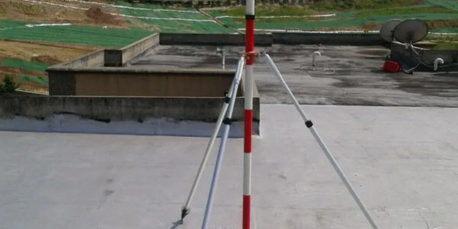
The field crew sets up a robotic total station on a forced-centering pillar while the inclinometer operator lowers a biaxial probe down a grooved casing installed behind the shoring wall. That probe measures tilt every 0.5 meters, building a deflection profile that shows exactly where the soil mass is creeping. Skipping this step in Grande Prairie's overconsolidated shales creates a hidden hazard: the material looks solid until pore pressure builds in microfractures and a block slides along a pre-existing joint plane. We have seen cuts that stood for three weeks fail in one afternoon of rain. Instrumentation catches the precursor movements and gives the superintendent time to reinforce the face or evacuate the trench before anyone gets hurt.
Explanatory video
Applicable standards
ASTM D7299 – Standard Practice for Verifying Performance of Inclinometers, CSA S6:19 – Canadian Highway Bridge Design Code, Section 25 Excavations, Alberta OHS Code Part 32 – Excavating and Tunnelling, ASTM D6026 – Standard Practice for Using Significant Digits in Geotechnical Data
Associated technical services
Shoring Wall Deflection Monitoring
Inclinometer casings installed behind soldier piles or within secant walls provide a continuous deflection profile. Readings are taken at minimum weekly intervals, with frequency increasing as the cut deepens or after heavy rainfall.
Pore Pressure and Groundwater Tracking
Vibrating wire piezometers placed at multiple depths measure the response of the aquifer to dewatering. The data confirms that the drawdown cone stays within the predicted boundary and does not threaten neighboring foundations.
Settlement and Vibration Surveys
Optical prisms on adjacent buildings, crack gauges on brittle utilities, and seismographs for blasting vibration provide a complete record of how the excavation affects the surrounding environment.
Typical parameters
Frequently asked questions
What does geotechnical excavation monitoring cost for a typical Grande Prairie project?
Monitoring programs in the Grande Prairie area generally range from CA$1,210 to CA$3,360, depending on the number of instrumented sections, the depth of the cut, and the required reading frequency. A shallow utility trench with a few survey points sits at the lower end, while a multi-level basement with inclinometers and automated piezometers across several months falls at the higher end.
How often do you take readings from the inclinometers and piezometers?
We start with a baseline reading before any soil is removed. During active excavation, inclinometers are read weekly at minimum, and daily if movement approaches the trigger level. Piezometers can be configured for continuous logging or manual weekly readings depending on the project's sensitivity to groundwater changes.
Can you monitor vibrations from pile driving or blasting near existing buildings?
Yes. We use triaxial geophones and seismographs that record peak particle velocity and frequency. The data is checked against the limits set in CSA S6:19 and the Alberta OHS Code to ensure construction activity stays within safe thresholds for nearby structures.
What happens if the monitoring detects movement above the threshold?
Our protocol triggers an immediate notification to the site superintendent and the engineer of record. We provide the raw data within hours so the team can decide whether to slow excavation, add bracing, adjust dewatering, or implement the contingency measures already outlined in the excavation plan.