In Grande Prairie, slope work often starts with a tracked excavator cutting a bench into the South Bear Creek valley wall. That first cut exposes laminated clay and silt, and within hours the face can start spalling if the geometry is wrong. Our team analyzes exactly that scenario using limit equilibrium software and site-specific shear strength data. We model drained and undrained conditions for natural slopes, engineered fills, and temporary construction cuts. For sites near the Wapiti River terraces or along Resources Road, we combine slope stability analysis with deep excavation monitoring when shoring is required next to public right-of-way. Grande Prairie’s surficial geology, dominated by glacial lake deposits and till over Cretaceous shale, demands more than a textbook factor of safety. Pore pressure response to spring snowmelt, rapid drawdown in stormwater ponds, and the freeze-thaw cycle all influence long-term performance. We deliver stability assessments that contractors and municipal reviewers trust because the numbers are backed by local borehole data, not generic assumptions from a different physiographic region.
Slope stability in Grande Prairie is governed by pore pressure, not just cohesion. If you don't measure it, you're guessing.
Methodology and scope
Local considerations
Sites in the Highland Park area, sitting on dense till with low plasticity, behave completely differently from those in the Countryside South expansion zone, where 3 to 8 meters of soft clay overlie shale. A 2:1 cut slope that stands perfectly in Highland Park may fail in Countryside South within the first wet season if the clay softens at the toe. The trigger is almost always water. Grande Prairie gets roughly 320 mm of precipitation annually, but the critical period is late March through May, when snowmelt saturates the upper 2 meters and eliminates negative pore pressures that were holding the slope together. We model this transient condition explicitly. For permanent slopes in clay, we specify toe drains, chimney drains, or relief wells to keep the phreatic surface low. For temporary construction slopes, we define the maximum unsupported height and the stand-up time so the earthworks superintendent knows exactly how fast the next lift of fill or shoring must go in. Ignoring the seasonal groundwater cycle in the Peace River region is the fastest way to turn a grading permit into a remediation order.
Applicable standards
NBCC 2020 structural commentaries on earth pressures and slopes, CSA A23.3-19 for reinforced concrete retaining elements, ASTM D3080-18 for direct shear testing, ASTM D4767-20 for consolidated-undrained triaxial, FHWA-NHI-05-094 for soil nail and anchored wall design (referenced practice)
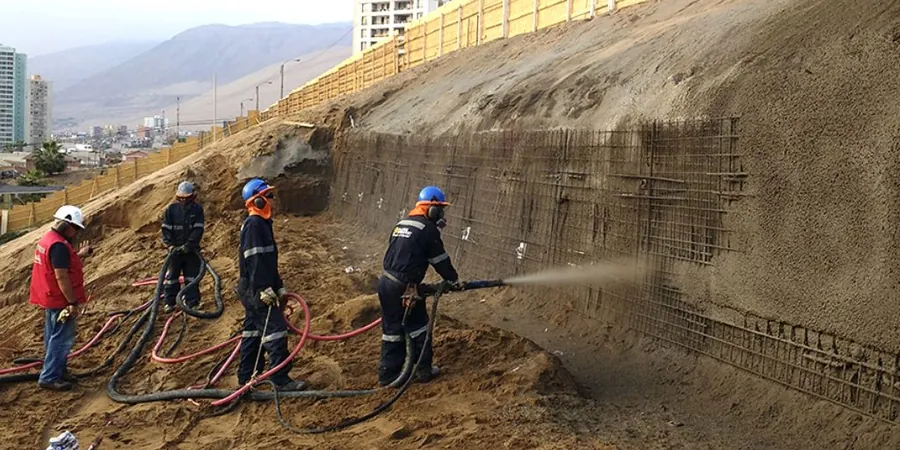
Associated technical services
Residential and Subdivision Slope Assessments
For builders and developers on lots backing onto Bear Creek, Crystal Lake, or any graded slope over 2.5 meters. We log test pits or sonic boreholes, run direct shear on undisturbed samples, and produce stability cross-sections stamped for the City of Grande Prairie permit application. The report includes a construction monitoring plan and clear setback recommendations from the top of slope.
Commercial and Infrastructure Earthworks Design
For road widening along Highway 43X, stormwater pond embankments, and industrial pads near the airport. We model staged fills, specify reinforcement when required, and provide observation-level monitoring protocols. If a global stability issue interacts with a retaining wall, we coordinate the retaining wall design so the soil and structure are analyzed as one system.
Typical parameters
Frequently asked questions
What is the minimum factor of safety required for a permanent slope in Grande Prairie?
We target 1.5 for long-term drained conditions and 1.3 for short-term undrained or end-of-construction scenarios, consistent with NBCC commentary and widely accepted geotechnical practice. For slopes adjacent to occupied buildings or public roads, the City of Grande Prairie may request a higher factor depending on consequence of failure.
How long does a slope stability analysis take from field work to final report?
A typical timeline for a single-family lot is three to four weeks: one week for drilling and sampling, two weeks for laboratory shear strength testing, and one week for modeling and report preparation. Winter drilling adds a few days for equipment setup in frozen ground, but the analysis timeline remains similar.
Do you need to drill on my property, or can you use existing data?
We always recommend at least one geotechnical borehole or test pit on the subject property. Public borehole logs from the Alberta Geological Survey provide regional context, but shear strength varies over short distances in glacial lake deposits. Using off-site data alone introduces unacceptable uncertainty in the factor-of-safety calculation.
What does a slope stability analysis cost for a residential lot in Grande Prairie?
For a single residential lot with one borehole, laboratory testing, and a stamped stability report, the budget typically falls between CA$1,970 and CA$5,890. The range depends on slope height, access for the drill rig, and whether groundwater monitoring over a seasonal cycle is required.