The Peace River Country around Grande Prairie presents a deceptive seismic setting: the 55.2°N latitude and intraplate location suggest low hazard, yet the 2015–2016 sequence near Fox Creek—roughly 200 km southeast—triggered a fresh look at induced seismicity and local site amplification across the Western Canada Sedimentary Basin. MASW profiling across Quaternary till, glaciolacustrine clay, and buried channels of the Smoky River system reveals Vs30 values that routinely shift site class from C to D within a single quarter‑section, and coupling those results with seismic refraction lines helps resolve the top‑of‑bedrock depth where the Montney Formation subcrops beneath variable overburden. Grande Prairie’s rapid commercial and industrial growth—distribution centres, mid‑rise hotels, and the expansion of the County of Grande Prairie’s infrastructure—demands a microzonation approach that moves beyond the NBCC 2020 uniform‑hazard spectrum and maps amplification, fundamental period, and liquefaction susceptibility at a block‑by‑block resolution.
Grande Prairie’s default NBCC site class can shift from C to E over less than 200 m; a single‑spectrum assumption risks both over‑design and missed amplification.
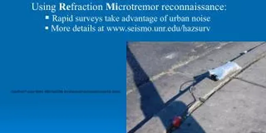
Methodology and scope
Local considerations
A quiet basin does not mean a safe basin. The Fox Creek events reminded Alberta’s engineering community that induced seismicity can generate short‑period energy disproportionately damaging to low‑rise steel and precast structures common in Grande Prairie’s industrial parks. When site‑specific microzonation is omitted, designers default to NBCC site class C, yet measurements along the Clairmont bench often return Vs30 below 270 m/s—site class D—while pockets of lacustrine clay north of the city push into site class E territory with fundamental periods above 0.5 s. That mismatch inflates seismic demand on a four‑storey office by 30‑40 % or, conversely, leaves a warehouse with a period around 0.15 s under‑designed. Beyond structural cost, the insurance and due‑diligence implications are material: lenders and tenants increasingly request third‑party seismic hazard reports before committing to long‑term leases in Western Canada.
Applicable standards
NBCC 2020 (National Building Code of Canada – Part 4, Division B), ASTM D7400-19 (Standard Test Methods for Downhole Seismic Testing), ASTM D4428/D4428M-14 (Crosshole Seismic Testing), NCEER/NSF (Youd & Idriss 2001) – Liquefaction Resistance of Soils, APEGA Guideline for Professional Practice: Seismic Hazard Assessment
Associated technical services
Vs30 Mapping & Site Classification
Combined active and passive surface‑wave arrays plus downhole logs to produce continuous Vs30 grids compliant with NBCC 2020. Results are classified per Table 4.1.8.4‑A and delivered as georeferenced rasters.
Ground‑Motion Hazard Computation
Probabilistic seismic hazard analysis (PSHA) for the 2 %‑in‑50‑year return period, incorporating the Geological Survey of Canada’s 6th‑generation source model and local amplification functions from site‑response runs.
Liquefaction & Lateral Spread Mapping
Borehole‑based factor‑of‑safety grids using SPT‑N values corrected for fines content and overburden, augmented by CPTu profiles where available. Outputs include LPI and LSI contour maps for planning and emergency‑response use.
Design Spectra & Time Histories
Site‑matched acceleration records scaled to the uniform‑hazard spectrum; suitable for nonlinear time‑history analysis of bridges, tanks, and irregular structures. Records are spectrally matched using wavelet algorithms in SeismoMatch.
Typical parameters
Frequently asked questions
What is the typical cost of a seismic microzonation study for a Grande Prairie subdivision?
Budget between CA$5,690 and CA$21,070 depending on the area covered, number of measurement points, and whether deep boreholes or downhole arrays are required. Smaller infill studies for a single quarter‑section sit at the lower end; a multi‑square‑kilometre area plan with ambient‑noise arrays and 1D site‑response modelling moves toward the upper range.
How does the NBCC 2020 site class affect our foundation design in Grande Prairie?
Site class controls the short‑period and long‑period spectral acceleration values used in structural analysis. A shift from class C (Vs30 360‑760 m/s) to class D (180‑360 m/s) increases Sa(0.2 s) by roughly 20‑30 % under NBCC 2020 Table 4.1.8.5, which directly influences base shear and lateral drift calculations for concrete and steel frames.
Can existing borehole logs from previous geotechnical investigations be used in the microzonation?
Yes, provided the logs include SPT‑N values, moisture content, Atterberg limits, and reliable groundwater readings. The team digitizes legacy logs, assigns shear‑wave velocity via empirical correlations calibrated to local downhole measurements, and integrates them into the GIS database after quality‑control checks against ASTM D5434 guidelines.
How long does a full microzonation study take for a 1 km² site in Grande Prairie?
Fieldwork—MASW lines, downhole testing, and ambient‑noise arrays—typically requires two to three weeks. Data processing, site‑response analysis, and GIS map production add another four to six weeks, with the final APEGA‑stamped report delivered eight to ten weeks after mobilization.